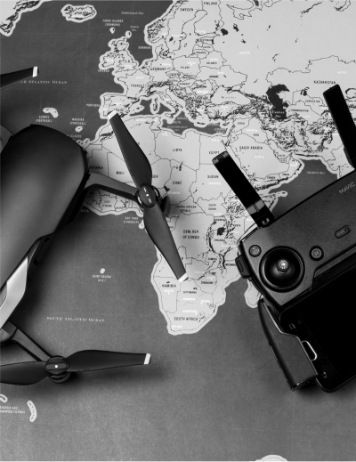
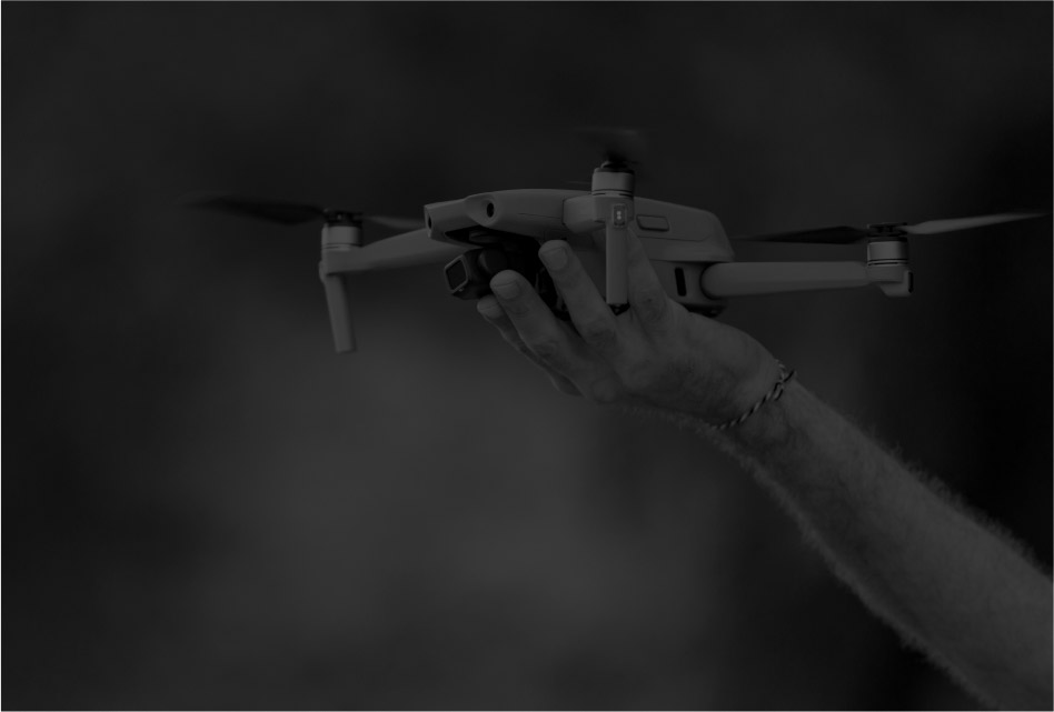
A bird’s eye view of your businesscan make your decisions more accurateSolutions for youAerial imagery and data analyticscan make your business smarterFind Out HowDrones can power your businessinto the stratosphereExplore Possibilities
Previous
Next
A bird’s eye view of your businesscan make your decisions more accurateFind OutAerial imagery and data analyticscan make your business smarterKnow MoreDrones can power your businessinto the stratosphereKnow More
Previous
Next
Request
a Demo
Request
a Demo
We give businesses a bird’s eye view to drive critical business decisions through end-to-end, bespoke aerial intelligence solutions.
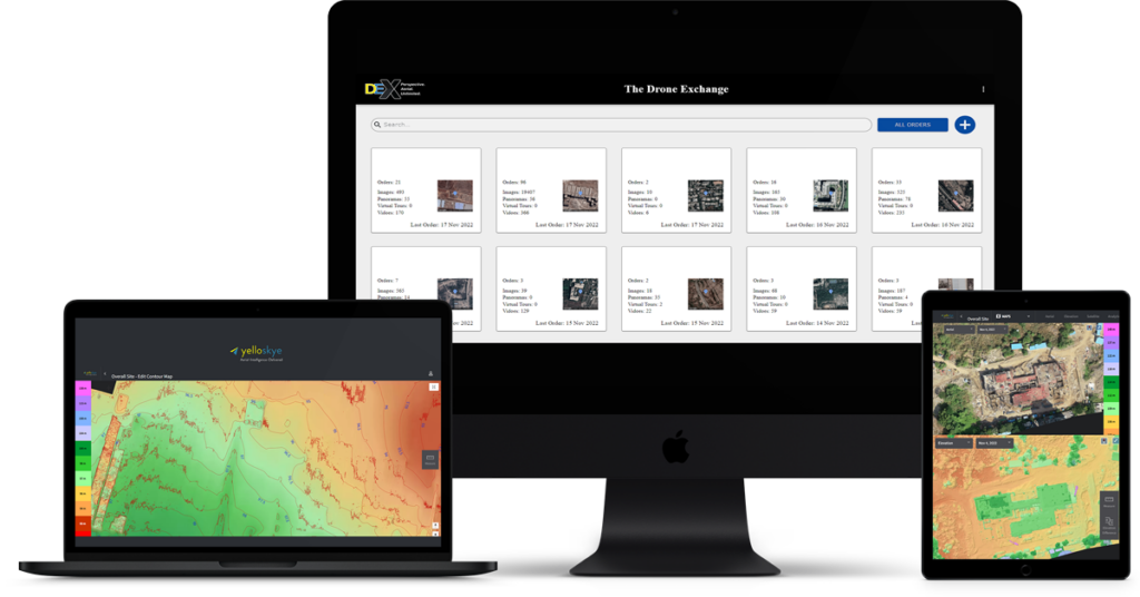
Our proprietary Drone Exchange (DEX) platform provides next-gen enterprises like yours with the ground truth, allowing you to make data-driven decisions to protect your assets, minimize risks, save time, and monitor progress anytime, anywhere.

0
K
Images Analysed

0
%
Data Accuracy

0
%
Reduction in time spent on project updates

$
0
Billion
Assets Under Management
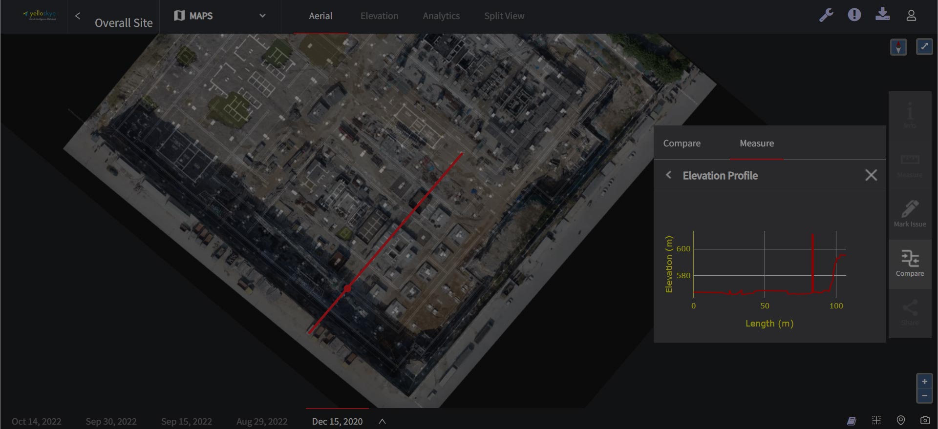
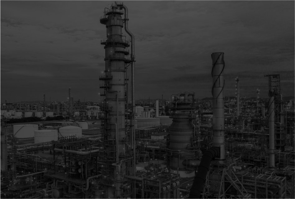
 Asset Risk Management ServicesSave time and money through business insights from a 2d/3d virtual, real-time model of your asset.
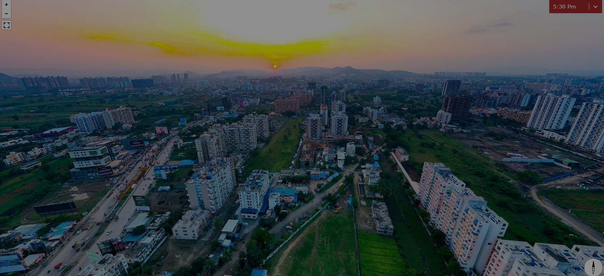
 Media, Marketing, Entertainment ServicesAdvertise your digital asset library and and excite users through 360 degree, indoor and outdoor, video or photographic outputs.
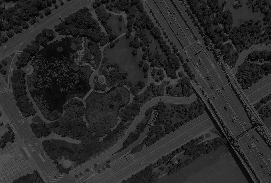
 Aerial IntelligenceCount, locate, measure, read, compare using AI- and ML-powered insights from aerial imagery.
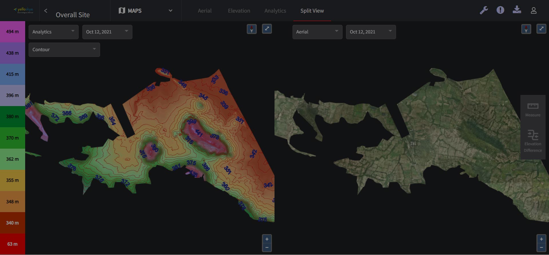
 yelloSKYE MapsDigitize and derive data from any area with a custom-built, interactive, digital map.
Our Solutions
Asset Risk Management Services
Save time and money through business insights from a 2d/3d virtual, real-time model of your asset. tell me more
Media, Marketing, Entertainment Services
Advertise your digital asset library and and excite users through 360 degree, indoor and outdoor, video or photographic outputs. Tell Me More
AERIAL INTELLIGENCE
Count, locate, measure, read, compare using AI- and ML-powered insights from aerial imagery. Tell Me More
YelloSKYE Maps
Digitize and derive data from any area with a custom-built, interactive, digital map. Tell Me More
Curated, bespoke aerial imagery intelligence solutions
YelloSKYE is a pioneer of cutting-edge, scalable aerial image technology in India. We are an end-to-end, customized aerial intelligence services provider that guides enterprises to make accurate data-driven business decisions

Committed to being customer-first, reliable, flexible, and collaborative
YelloSKYE is a customer-first company with a laser-sharp focus on accuracy & the client experience. We follow a consultative approach on all projects and are backed by a dedicated team that provides unlimited data & intelligence support.
A digital, self-service experience. Easily scalable across geographies & industries
All enterprise data is owned by our clients and easily accessible 24/7 via YelloSKYE’s encrypted Drone Exchange (DEX) platform. It’s easy to use, intuitive & secure. The cloud-based platform is designed for accuracy and to integrate seamlessly with enterprise legacy systems.
Deep domain and business expertise
Through a thorough understanding of your businesses, YelloSKYE provides you with accurate aerial intelligence solutions that guide critical business decisions. Our real-time analytics are presented to clients via a custom CEO Dashboard for actionable insights and decision-making.


The Platform Advantage
Ground Truth. Delivered by YelloSKYE’s Drone Exchange (DEX)
Your data, your way.
Perpetual access, anytime, anywhere
Cloud based
Secure, encrypted, intuitive platform.
Contextualized reports
and verifiable imagery
Seamless integration
with legacy systems like AutoCAD
Collaboration and easy adoption
Custom-built for sharing, comparing & reviewing.
Our Success Stories
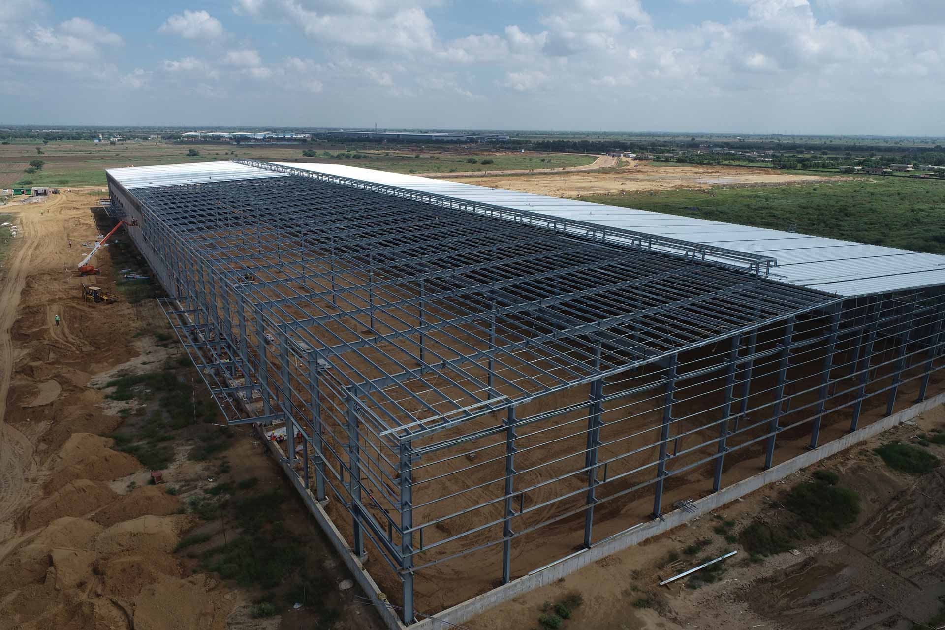
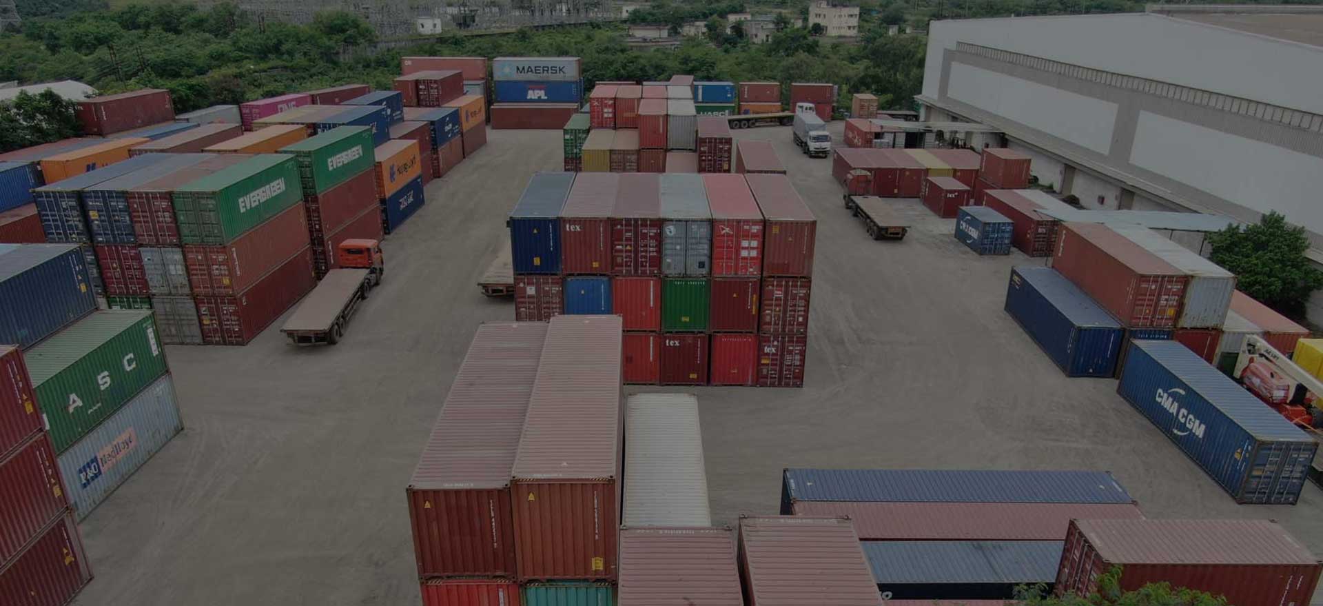
Progress Monitoring and MarComm Content for CRM
Indospace is a leading industrial and commercial warehousing space provider which caters to A-grade multinationals like Amazon, Firstcry, etc.

Accurate Land Survey and Security Monitoring
Real estate developers Kolte Patil are building a huge, 400-acre township with a perimeter boundary of approx 20 km.
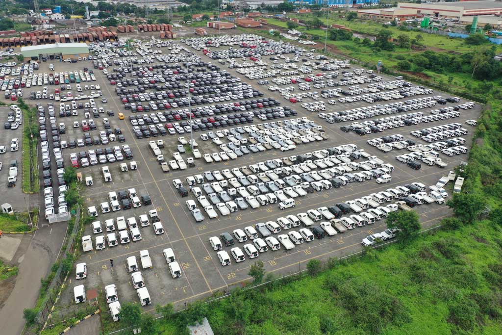
Inventory Management And Vehicle Location Tracking
Mahindra & Mahindra, one of India’s largest vehicle manufacturing companies, typically have approx. 10,000+ vehicles in its lot waiting to be dispatched to its dealer network.
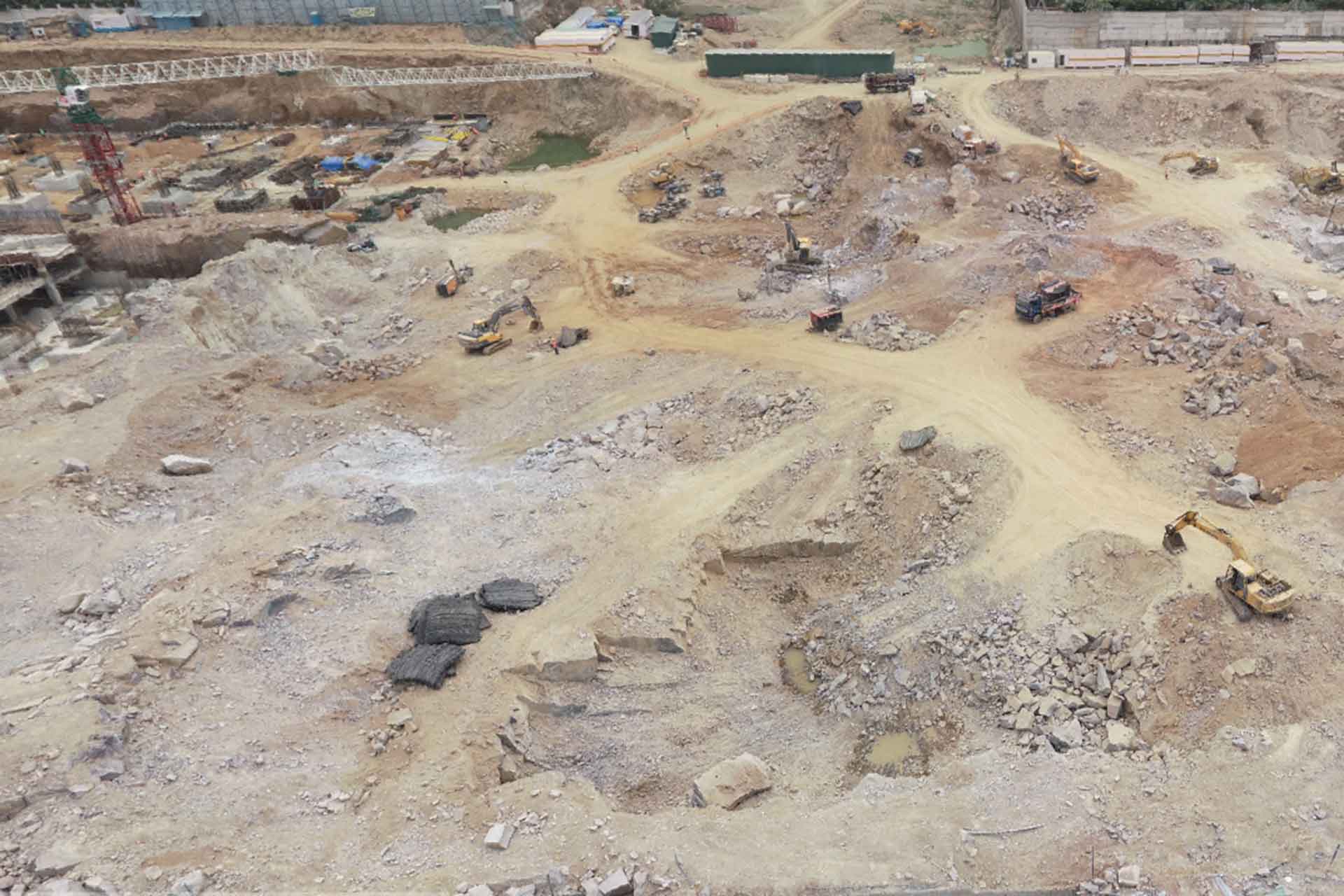
Accurate Excavation Monitoring & Quantity Estimations
RMZ, a leading commercial developer, was building a project which required a five-level basement.
YelloSKYE delivers advanced aerial imagery data analysis & intelligence.
Across geographies and devices.
https://vimeo.com/570174810
With quality & reliability at our core, we’re revolutionizing how aerial visual data is captured, analyzed, and presented.